Saving PA from Space

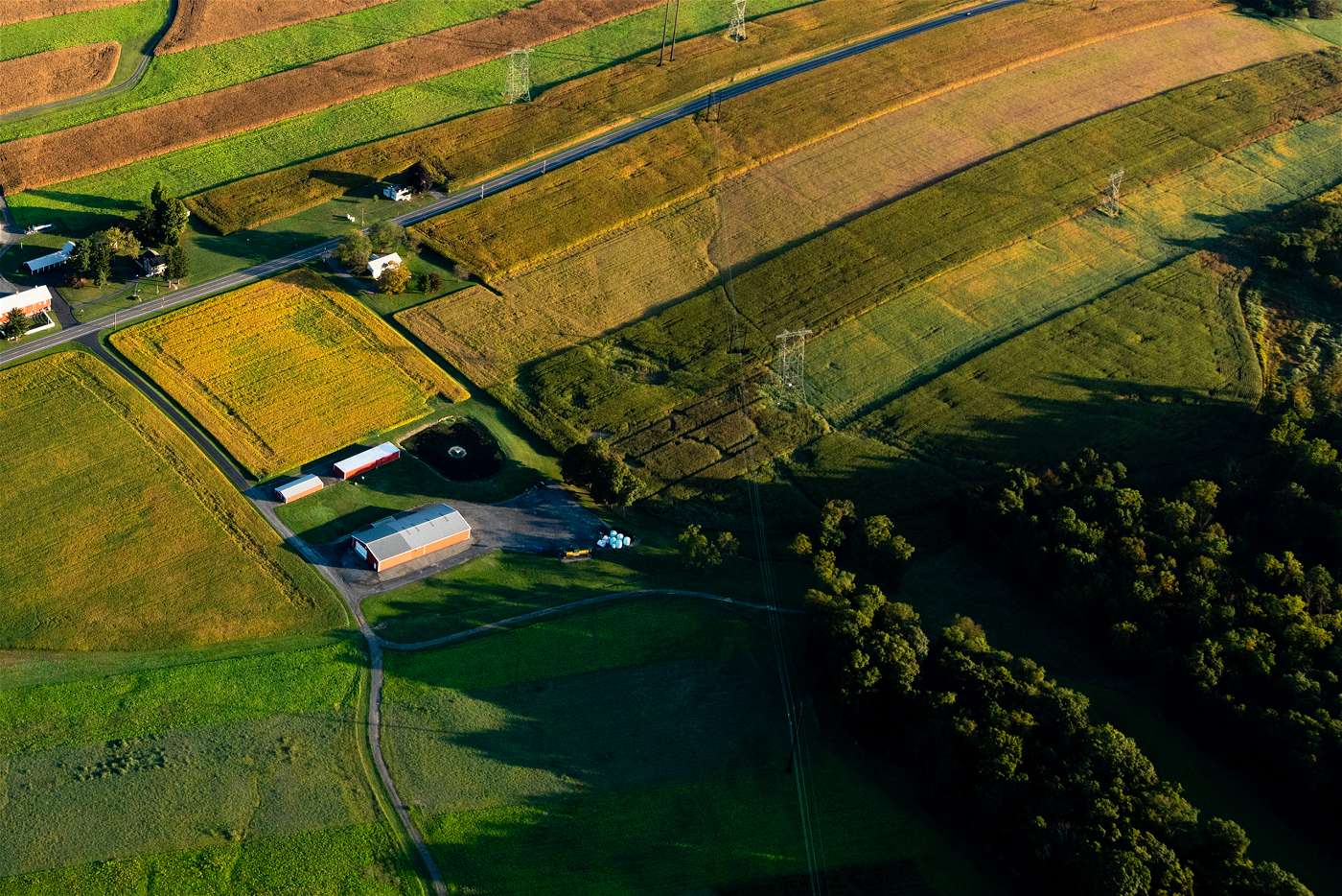
Half a million to 600,000 new trees are slated to take root in Pennsylvania over the next couple months as the Keystone 10 Million Trees Partnership’s (K10) spring planting season gets underway. The team is working with partners and landowners on the ground, but they’ll also have some additional help—satellites in space.
The planting season coincides with NASA’s Global Learning and Observations to Benefit the Environment (GLOBE) Program’s Spring 2022 Tree Height and Land Cover Intensive Observation Period (IOP). K10 partnered with NASA and GLOBE in April 2021 to utilize cutting edge technology to track tree height.
“Tree height is not just a measurement – it is a gateway to understanding many things about the environment. The structure of tree canopies, the 3D arrangement of individual trees, has a huge effect on how ecosystems function and cycle through carbon, water, and nutrients” says Brian Campbell, NASA Senior Earth Science Outreach Specialist and Trees Around the GLOBE Student Research Campaign Lead.
Knowing how valuable trees are for keeping pollution out of rivers and streams —and the health of the Bay downstream—CBF launched the K10 partnership in 2018. Trees are powerhouses. They are natural filters, which means they clean our water, filter the air we breathe, and provide a multitude of benefits that improve our quality of life. K10 has one major goal: plant 10 million trees across Pennsylvania by 2025.
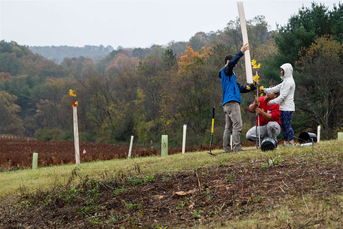
As important as it is to plant trees, it is equally important to ensure the trees planted survive. But how can you keep track of millions of trees across thousands of acres in the watershed?
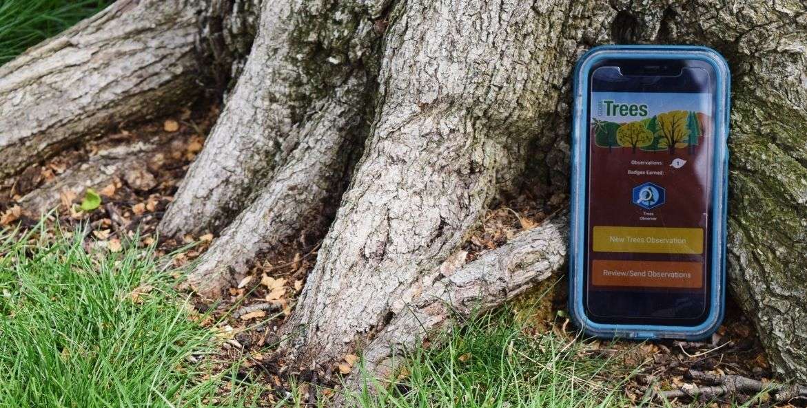
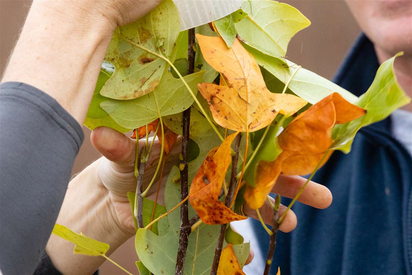
Photo Credit: Isabella DeFrancesco
With hundreds of thousands of trees being planted across Pennsylvania each year, K10 uses the Globe Observer Trees tool to keep track of the survivability and growth of trees planted.
How it works
In 2018, NASA launched the satellite ICESat-2, a spacecraft that uses a system of lasers to measure the elevation of numerous objects from space.
“With ICESat-2, we’re able to measure the height of any object on Earth, including trees,” says Campbell.
As ICESat-2 scans the globe and takes height measurements, it tracks and records data in the form of surface elevation and canopy heights on the Open Altimetry site. By choosing a specific date and location, anyone can scroll through the data captured by the satellite. It also allows the K10 team, its partners, and landowners who are planting trees on their property to accurately track tree growth, and make sure trees are surviving.
Through their partnership, K10 and NASA worked together to identify sites of K10 planting events and match them to measurements conducted by ICESat-2. Out of 46 planting sites, ICESat-2 passed through about half of them. The K10 team is currently analyzing the findings of these matches and plans to update their planting sites each year to add more matches to the list.
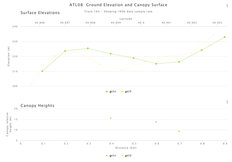
Photo Credit: OPENALTIMETRY.ORG
This image shows an example of tree height captured in Centre County. It shows that in 2020, the highest canopy height was over 15 meters, which is about a 50 foot tall tree!
You can help measure trees!
As ICESat-2 rotates around the globe, there are still trees that have been planted which its lasers haven’t yet measured. To collect an extensive database of tree height, NASA also launched the GLOBE Observer Trees tool. The app gives anyone who downloads it the ability to take on-the-ground tree height measurements (this video shows you how).
With hundreds of thousands of trees being planted across Pennsylvania each year, K10 uses the Globe Observer Trees tool to keep track of the survivability and growth of trees planted.
The app also has the ability for users to conduct landcover observations.
“We ask users to take four pictures in the direction of North, South, East, and West, and ask them what they see in each direction. Do you see trees, grass, shrubs, or open water?” says Campbell.
This information helps NASA scientists learn the number of trees that make up an area, and it is equally helpful to the K10 team in identifying places for potential future tree plantings.
If you are interested in taking tree height measurements of your own, the Spring 2022 Tree Height and Land Cover Intensive Observation Period (IOP) is the perfect time.
“This will be a month-long period where we try to get as much dense data in a short amount of time, to provide to scientists to compare ICESat-2 data,” says Campbell.
K10 will be participating in the challenge by encouraging partnership members to join the “Keystone Trees” team on the GLOBE Observer app and work together to track the trees’ progress.
K10 is grateful for this partnership with NASA and the GLOBE program to connect citizens with science and spread the word about the sheer power of trees. The more trees planted, and the more measurements taken on those trees, the happier our planet—and the Bay—will be.
Isabella DeFrancesco
-
Photo Credit: Istock
Charismatic Creatures
A Pennsylvania farm owner steps up to protect bog turtles on his land -
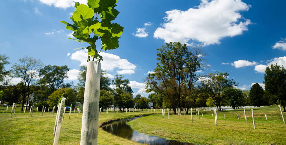
Photo Credit: Will Parson
Pennsylvania’s Steep Road to Clean Water
Earlier this month, CBF released its 2021 State of the Blueprint report with a large focus on Pennsylvania. Here are the highs, lows, and next steps for the Keystone State. -

Photo Credit: John Naylor
River Protector
Pennsylvania resident John Naylor is on a mission to rid the Susquehanna of its plastic problem